The Island
Understand San Andres: its coral geography, the Sea of Seven Colors lagoon, the Raizal people and creole culture, and the Seaflower Biosphere Reserve that protects it.
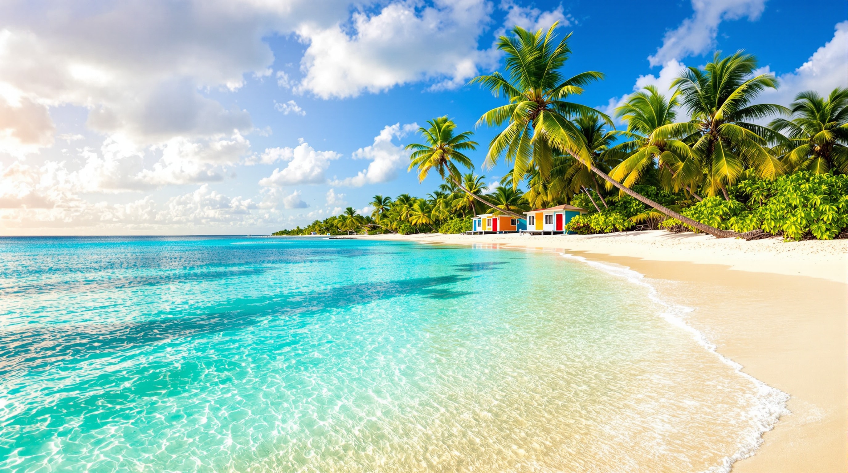
To understand San Andres you have to picture a seahorse. That is the shape islanders use for their home: a slim, curving coral cay about thirteen kilometres long and three across, tilted in the Caribbean some 750 kilometres northwest of the Colombian coast. What makes it extraordinary is not its size but the water around it - a shallow lagoon on the eastern side, sheltered by a living barrier reef, where sunlight, sand and seagrass conspire to paint the famous Sea of Seven Colors.
A coral island, not a volcanic one
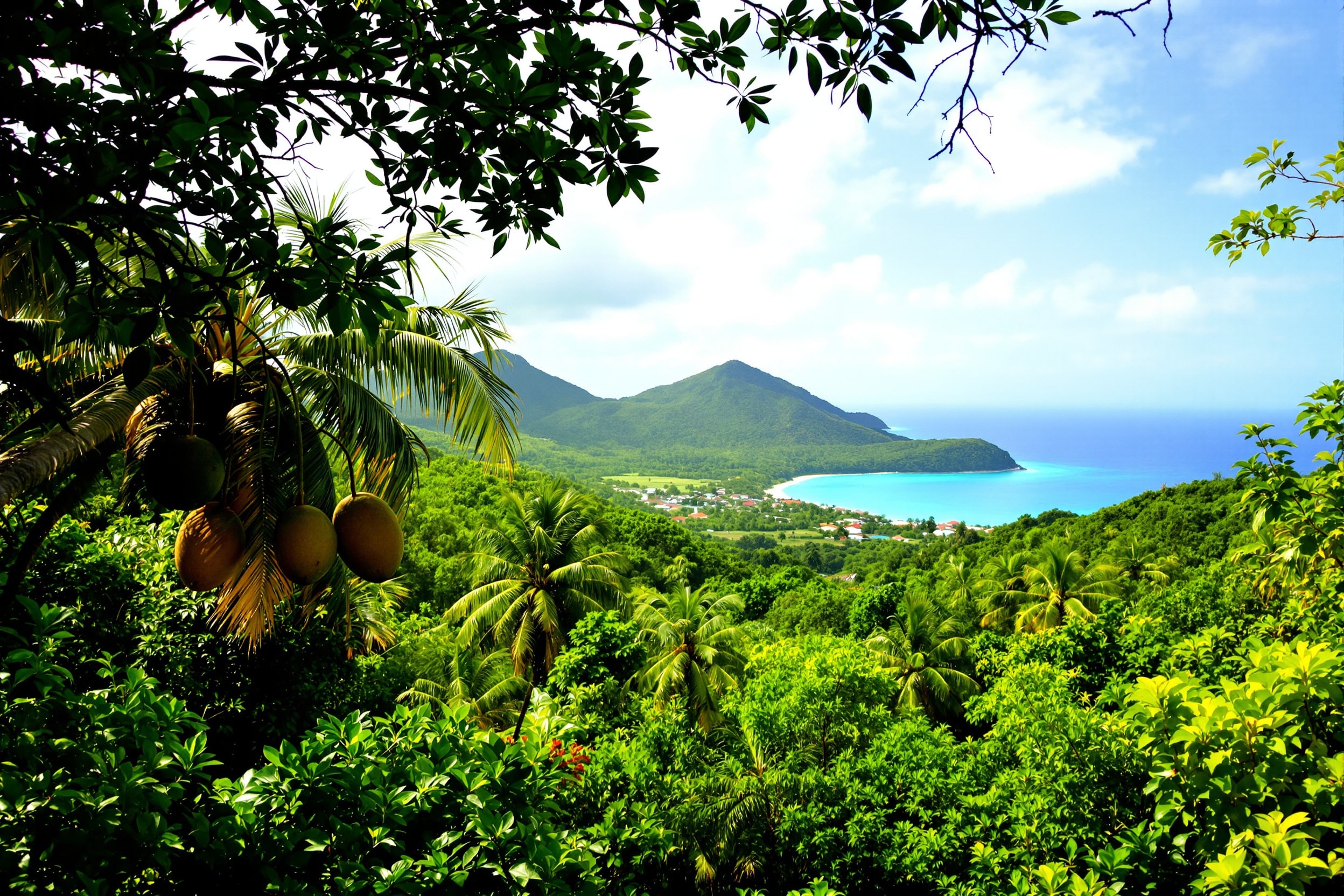
San Andres is built from limestone and old coral, not volcanic rock, which is why it is so low and flat. Its highest point, the hill known as La Loma, rises only about eighty-five metres, and from the little viewpoint at the Botanic Garden you can see almost the whole island at once. The interior is surprisingly green - dense with coconut palms, breadfruit and mango trees - while the coast alternates between white-sand beaches in the north and rugged ironshore in the south.
The eastern shore holds the island's postcard beaches: Spratt Bight, the long main strand backed by the town of North End, and, further south, the quieter bays of San Luis and the calm shallows around Rocky Cay, where you can wade out to a grounded shipwreck. The western and southern coasts are wilder, all black volcanic-looking rock, sea caves and blowholes.
The Sea of Seven Colors
The lagoon's colours are not a marketing invention - they are physics. Where the water is only knee-deep over pale sand it glows almost white-green; over seagrass it turns emerald; over deeper coral channels it deepens to sapphire and indigo. Fly in on a clear day and the bands of colour ring the island like tree rings. The reef that creates all this is part of the Seaflower Biosphere Reserve, a UNESCO-recognised protected area covering some 180,000 square kilometres of sea - one of the richest and best-preserved reef systems in the Caribbean.
The Raizal people
San Andres is not a Spanish colonial town transplanted to the sea. Its founding culture is Raizal - an Afro-Caribbean people descended from English Puritan settlers, Scottish and Dutch traders, and enslaved Africans brought to work cotton and coconut plantations. For centuries the islands looked to Jamaica and the wider English-speaking Caribbean, and that heritage endures: many islanders speak San Andres creole, an English-based language, alongside Colombian Spanish; the oldest institutions are Baptist churches, the first of which was founded on La Loma in the 1840s; and the music, food and family names are unmistakably Caribbean.
Understanding this matters for a traveller. San Andres became a Colombian free port in the 1950s, and the tax-free shopping and cheap flights that followed brought waves of mainland migration and mass tourism. The Raizal community is now a minority on its own island, and there are real tensions over land, water and identity. Travelling here with curiosity and respect - learning a few creole greetings, supporting native-owned businesses - is a small way to honour the people who make the island what it is.
The reef as the island's defence
It is easy to read the barrier reef purely as scenery, but it is also the reason the island's eastern shore exists in its present shape. The reef crest breaks the open Caribbean swell a kilometre or two out, and everything behind it - the calm lagoon, the seagrass meadows, the pale sand of Spratt Bight and San Luis - is sheltered water that only stays sheltered while the coral stays alive. Where the reef is absent, on the exposed western and southern coasts, you get the real thing instead: ironshore, sea caves and the blowhole. That contrast, visible in a single hour's drive around the Circunvalar, is the clearest argument anyone can make for why the conservation rules here are strict. The coral is not decoration on a coastline; it is the coastline's breakwater.
Heat stress is part of the reef's story, too. In April 2024, NOAA confirmed the fourth global coral bleaching event, with mass bleaching reported since early 2023 across the Caribbean and the eastern Tropical Pacific, including Colombia. NOAA also stressed that bleaching does not necessarily mean coral death: corals can recover if the stress eases. Those broad findings give you context rather than a condition report for an individual San Andres dive site. Our guide to coral bleaching and the San Andres reef explains the global event, NOAA's later assessment and coral planting in the Cove. Ask your guide about the particular site you will visit.
Getting your bearings
Almost everything visitors need is in North End, the compact town behind Spratt Bight, where the airport, most hotels, the duty-free shops and the boat docks cluster within walking distance. From there a single coastal road, the Circunvalar, loops right around the island in about an hour of easy driving, threading past San Luis, the West View snorkelling cove, the Hoyo Soplador blowhole and up to La Loma. You can see the highlights in a day, but the island rewards those who slow down.
Ready to get in the water? Start with our guide to diving and snorkelling, or plan a boat day to Johnny Cay and El Acuario. Hungry already? Jump to island food.